
Fleet tracking data · No sensors
CetaNav
Know where your boats are and how they're running
Fleet visibility and operational insights without requiring engine sensors. CetaNav uses navigation data to give operators a clearer picture of vessel movement, routes and estimated fuel consumption.
The problem
Older vessels, almost no digital footprint
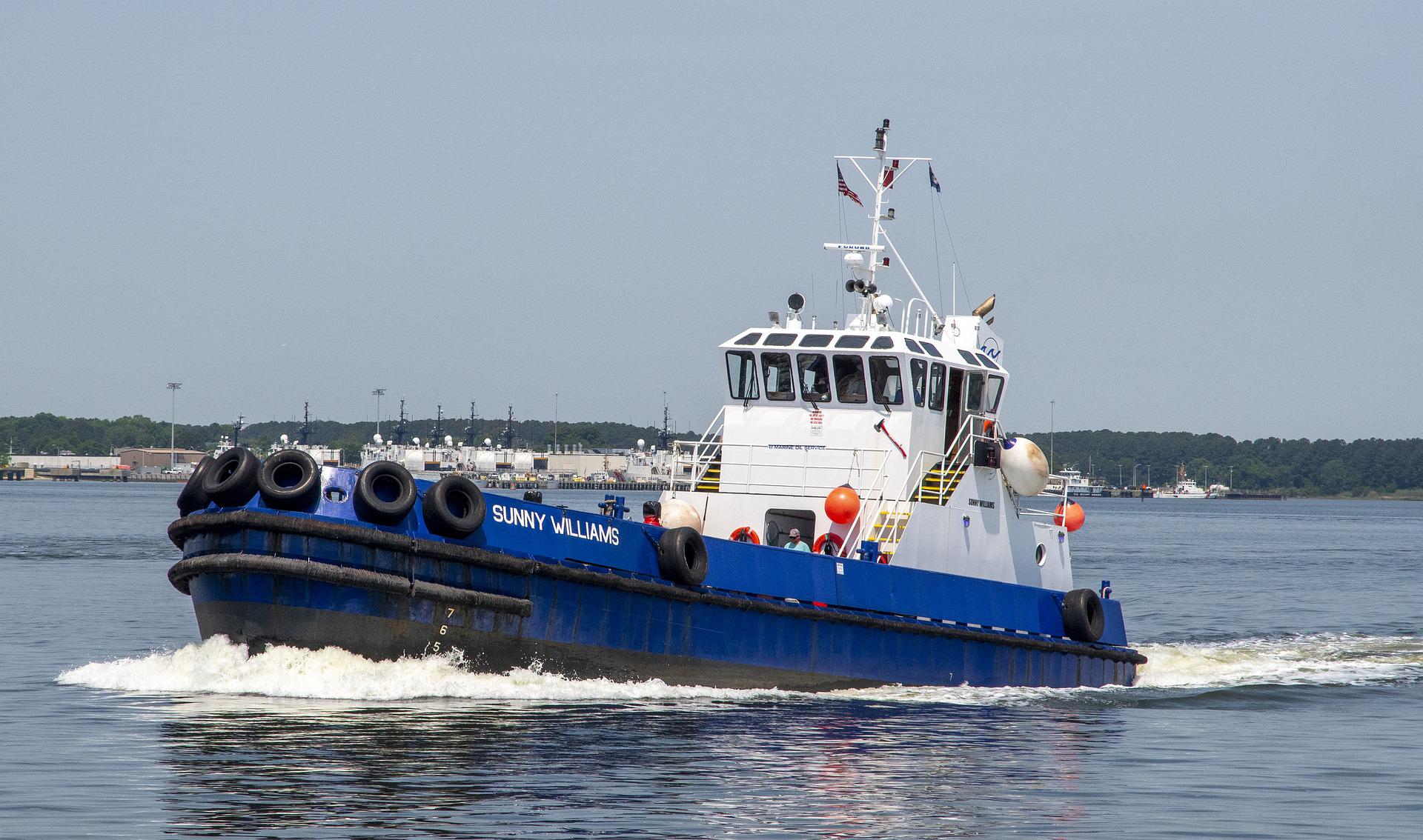
Picture a fleet of older mechanical-engine vessels with limited sensors and no digital visibility. The vessels still work every day, but the answers you need are not written down anywhere.
- Where are the vessels right now?
- Are they operating when they should?
- Are routes changing?
- Are vessels idling unexpectedly?
- How much fuel are they likely consuming?
CetaNav creates that visibility using navigation data alone.
What you get
Vessel tracking onboard and ashore
Fleet overview
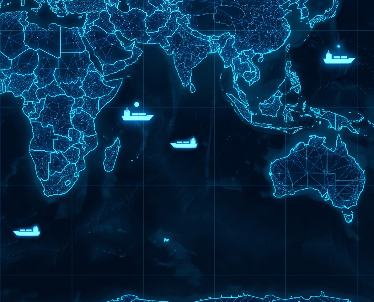
See all your vessels on one map in real time.
Fuel estimation
GPS-based fuel consumption estimates without requiring a flow meter.
Cloud dashboard
Shore-based access to trip detection, route and zone alerts, fleet benchmarking, reports and trip logs.
Captain display
Onboard access to key operational data.
How CetaNav works
Navigation signals in. Vessel tracking out.
CetaNav connects to the vessel through the Cetasol Main Unit (CMU) and uses GPS and navigation signals to track position, speed and movement. The information is sent to the cloud and becomes available both onboard and to shore-based teams, with no modifications to the vessel's engine or fuel systems.
Navigation signals
Position, speed and movement from GPS
Cetasol Main Unit
Data gathered onboard by the CMU
Cloud
Secure transfer to the Cetasol cloud
Onboard + shore
Visualised for crew and shore teams
Built for fleet visibility
What operators can see and act on
A longer route than usual, a vessel idling where it shouldn't, a boat moving at night with no booking. CetaNav surfaces the everyday details and the exceptions, privately to your team.
CetaNav is your starting point
Start with vessel oversight and expand as your needs grow. Digital bridge integration and accurate fuel reading with CetaFuel build on the same installation, so nothing already onboard has to be replaced.
Satellite tracking integrations can be added where relevant.
Ready to get visibility over your vessels?
See how CetaNav can bring fleet visibility and operational insights to vessels without requiring complex engine integrations.